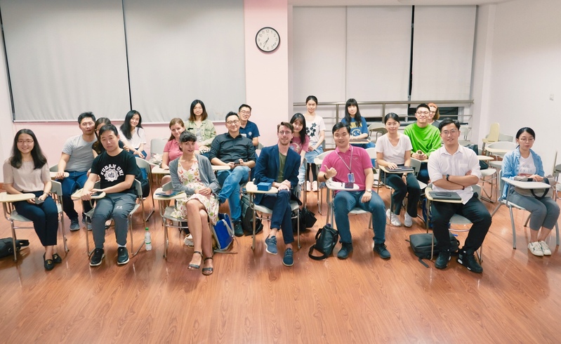
On 18th September, 2019, Fudan-LSE lecture series was jointly held by the Institute for Global Public Policy (IGPP) and School of Journalism of Fudan University. Dr. Jean-Christophe Plantin delivered a lecture entitled Mapping Planforms: the Next Cartographic Infrastructure. Faculties and students from Fudan University and LSE attended the lecture. This lecture was moderated by Dr. Haoqi Qian, the program director of the GPE program of IGPP of Fudan University.
At the beginning of this lecture, Dr. Qian made a brief introduction to Dr. Plantin. Dr. Plantin is Assistant Professor at the Department of Media and Communications at LSE. His research investigates the increasingly infrastructural role that digital platforms play in society. His work has been published in leading Media & Communications and Science & Technology Studies journals, including Media, Culture & Society, New Media & Society, Big Data & Society, Chinese Journal of Communication, International Journal of Communication, European Journal of Communication, and Sciences, Technology & Human Values.
Subsequently, Dr. Plantin started by introducing his research, Infrastructure studies meet platform studies in the age of Google and Facebook, and defined the concept of knowledge infrastructure by quoting the view of Edward that (Mapping) knowledge infrastructure is a powerful network in which people, products and institutions create, share and maintain specific knowledge.
Dr. Plantin noted that mapping infrastructure is fragmenting, and the modernist map era and physical security era of maps are over. The increased public participation has greatly expanded the boundaries of mapping. The traditional map information provider and arbiter (government), has become one of many producers and facilitators. In the opinion of Dr. Plantin, there is a paradox in online maps, that is, maps have never been as accurate, convenient and open as they are today, but increasingly served private interests rather than public interests. Finally, he pointed out that since 2005, with the continuous platformization of digital mapping, although traditional mapping institutions still exist, they are not the only authoritative source. Some digital mapping platforms have reached the quality of mapping infrastructure, and updated maps by using infrastructures and platform properties t.
In the Q&A session, Dr. Plantin discussed with the audience.


